|
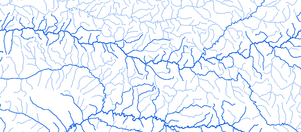
Bassin du Ba Tha
|
||||
|
|
||||
|
RAPPEL : Le téléchargement de données est libre moyennant un enregistrement sur ce site et l'édition et le renvoi de la déclaration de l'utilisateur signée.
|
||||
|
|
||||
|
Le Ba Tha |
 |
|||
 |
 |
 |
 |
|
|
Delep 18°39'01"E 12 °41'01"N |
|
|
|
|
|
Oum-Hadjer 19°41'01"E 13 °18'01"N |
|
|
|
|
|
|
||||
Ati 18°19'01"E 13 °12'01"N