|
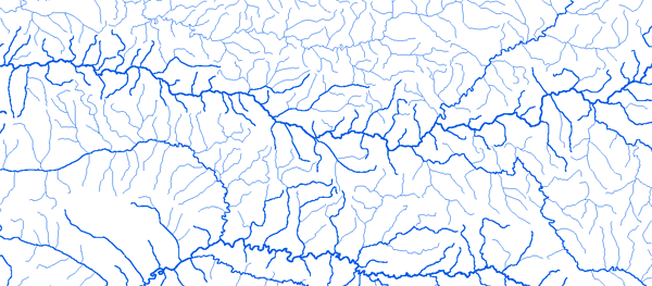
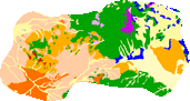
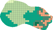
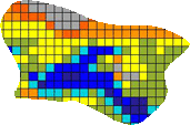
Bassin du Konkoure
|
||||
|
|
||||
|
RAPPEL : Le téléchargement de données est libre moyennant un enregistrement sur ce site et l'édition et le renvoi de la déclaration de l'utilisateur signée.
|
||||

|
||||
|
Le Konkoure |
 |
|||
|
Amaria 13°34'00"W 10°18'01"N |
 |
 |
 |
 |
|
Bac de Badi 13°24'00"W 10°17'01"N |
|
|
|
|
|
Kondombofou 12°56'00"W 10°38'01"N |
|
|
|
|
|
Pont de Linsan 12°25'00"W 10°18'01"N |
|
|
|
|
|
Pont de Télimélé 12°53'48"W 10°30'23"N |
|
|
|
|
|
 Fermer cette page
 Imprimer cette page