|
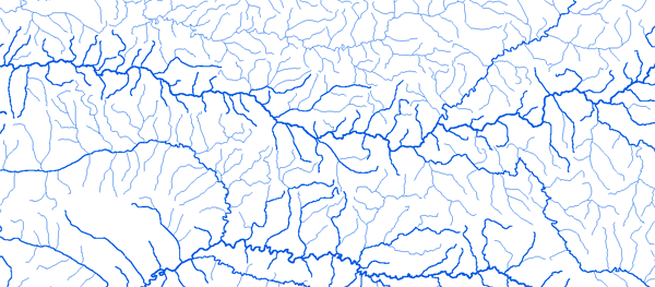
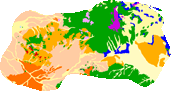
Bassin de l'Ogooue
|
||||
|
|
||||
|
RAPPEL : Le téléchargement de données est libre moyennant un enregistrement sur ce site et l'édition et le renvoi de la déclaration de l'utilisateur signée.
|
||||
|
|
||||
|
L'Ogooue |
 |
|||
|
Fougamou 10°35’27"E 1°12'56"S |
 |
 |
 |
 |
|
Franceville 13°32'01"E 1°38'12"S |
|
|
|
|
|
Lambarene 10°13'47"E 0°42'43"S |
|
|
|
|
|
Makokou 12°51'40"E 00°34'81"N |
|
|
|
|
|
Mouila 11°03'21"E 1°53'13"S |
|
|
|
|
|