|
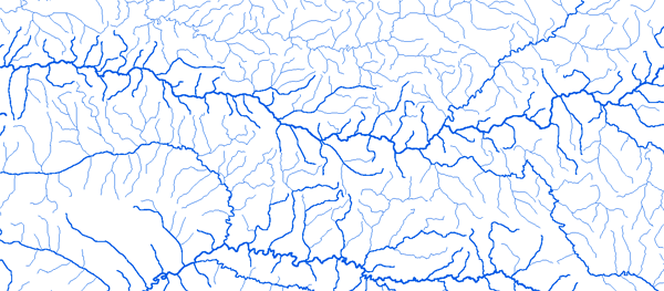
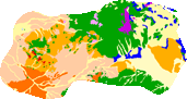
Bassin de l'oued Sebou
|
||||
|
|
||||
|
RAPPEL : Le téléchargement de données est libre moyennant un enregistrement sur ce site et l'édition et le renvoi de la déclaration de l'utilisateur signée.
|
||||
|
|
||||
|
Oued Sebou |
 |
|||
 |
 |
 |
 |
|
|
Azib Soltane 5°25'48"W 34°16'48"N |
|
|
|
|
|
Bab Ouender 4°33'00"W 34°36'00"N |
|
|
|
|
|
Mjara 05°15'00"W 34°40'24"N |
|
|
|
|
|
Ourtzagh 05°00'36"W 34°40'24"N |
|
|
|
|
|
Pont du Mdez 4°30'00"W 33°37'12"N |
|
|
|
|
|
|
||||
Ain Timedrine 4°31'48"W 33°45'00"N