SIEREM
Système d'Informations Environnementales sur les Ressources en Eau et leur Modélisation
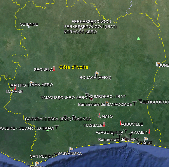
Data access
Access the station metadata and graphic visualizations of time series.
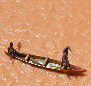
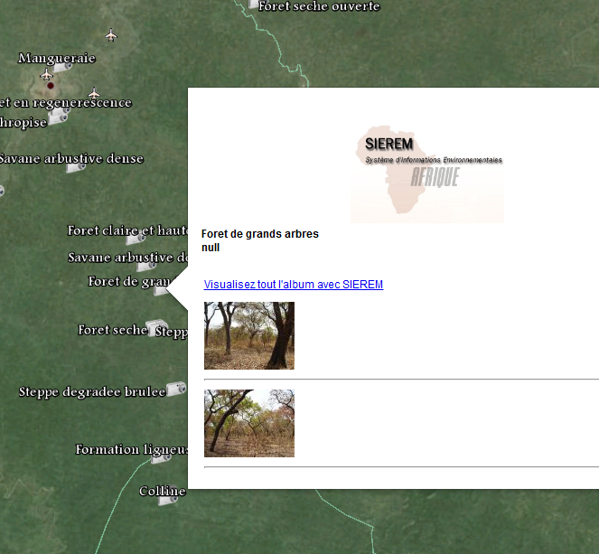
Photo Safari
Visit Africa, landscapes, vegetation, measuring stations and reservoirs and dams.
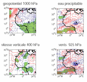
Products
Download the free products (data, images, grid ...
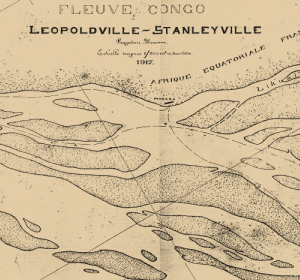
Book-Map library
download documents, books, maps, yearbook etc.
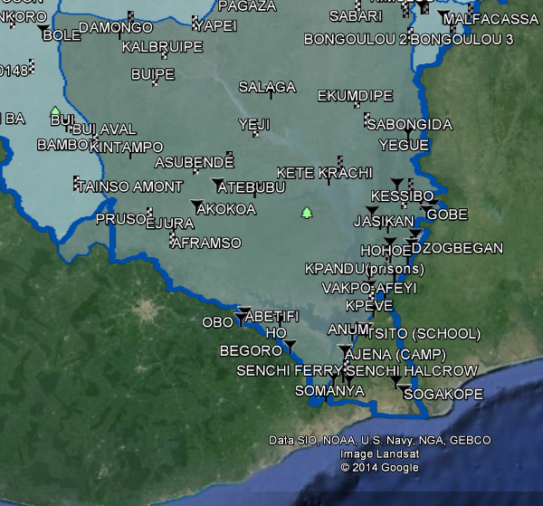
Use Google Earth |
|
||||||||||||||
|
|
||
| © HSM 2005 - 2015 | Last update 2024 |  data will be updated end 2025 data will be updated end 2025 |
Add sierem to your bookmark! See the site statistics! |
||